


The National Weather Service early Wednesday warned of moderate flooding at spots near Harper and between Vale and Ontario.
The Malheur River, which had been forecast to drop through the day Tuesday, instead continued to rise because of snowmelt and releases from Bully Creek Dam west of Vale.
According to a river gauge at Vale, the river hit a crest of 21.56 feet at 1:45 a.m. Wednesday, April 12, before dropping slightly. Flood stage is 19.5 feet, according to the National Weather Service.
The weather service said in its warning that “flood waters will rise above low spots on
Copeland Road near Harper” and Butte Drive, a rural road between Vale and Ontario, “will be flooded with water greater than 1 foot deep.”
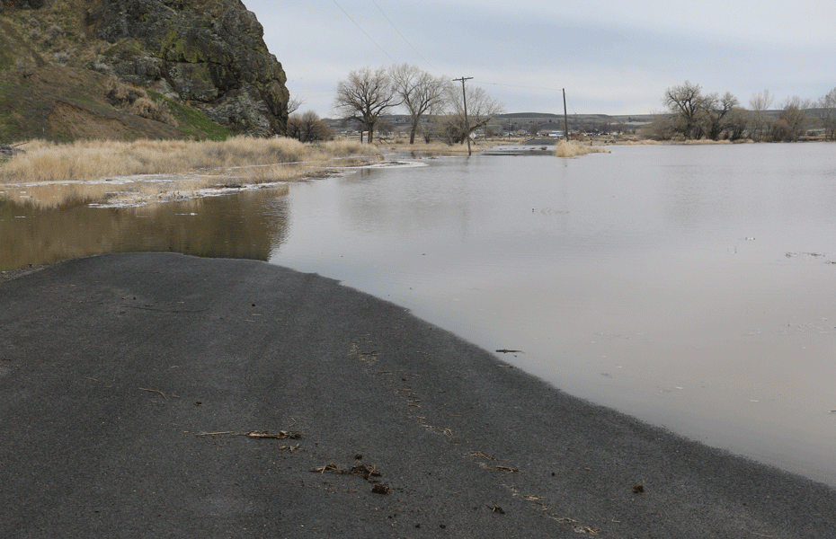
A short section of Butte Drive next to the Malheur Butte was closed as of Wednesday, April 12, because of high water.
The agency also said flood waters would cover portions of Russel Road, which crosses the river west of Vale, and Airport Road southwest of Vale.
The agency said low spots on Malheur Drive “will flood” in an area west of Ontario near 36th Street. Debris could jam behind the 36th Street Bridge.
“Even 6 inches of fast-moving flood water can knock you off your feet and a depth of 2 feet will float your car,” the weather service advised. “Never try to walk, swim or drive through such swift water.”
This is a developing story.
NOTE: Have flooding photos? Send them to [email protected].
NEWS TIP? Send an email to [email protected].
HOW TO SUBSCRIBE – The Malheur Enterprise delivers quality local journalism – fair and accurate. You can read it any hour, any day with a digital subscription. Read it on your phone, your Tablet, your home computer. Click subscribe – $7.50 a month.