


UPDATE 10 a.m. FRIDAY:
The range fire burning near Malheur Reservoir was largely corralled by ground crews and air tankers Thursday evening and no structures are at risk, according to Jonathan Dunbar, BLM duty officer.
The fire was about 50 percent contained but there was little fire movement after last night, Dunbar said. The fire was mapped at 3,238 acres.
The cause remains under investigation.
There are no road closures in the area, Dunbar said.
UPDATE 6:30 a.m. FRIDAY:
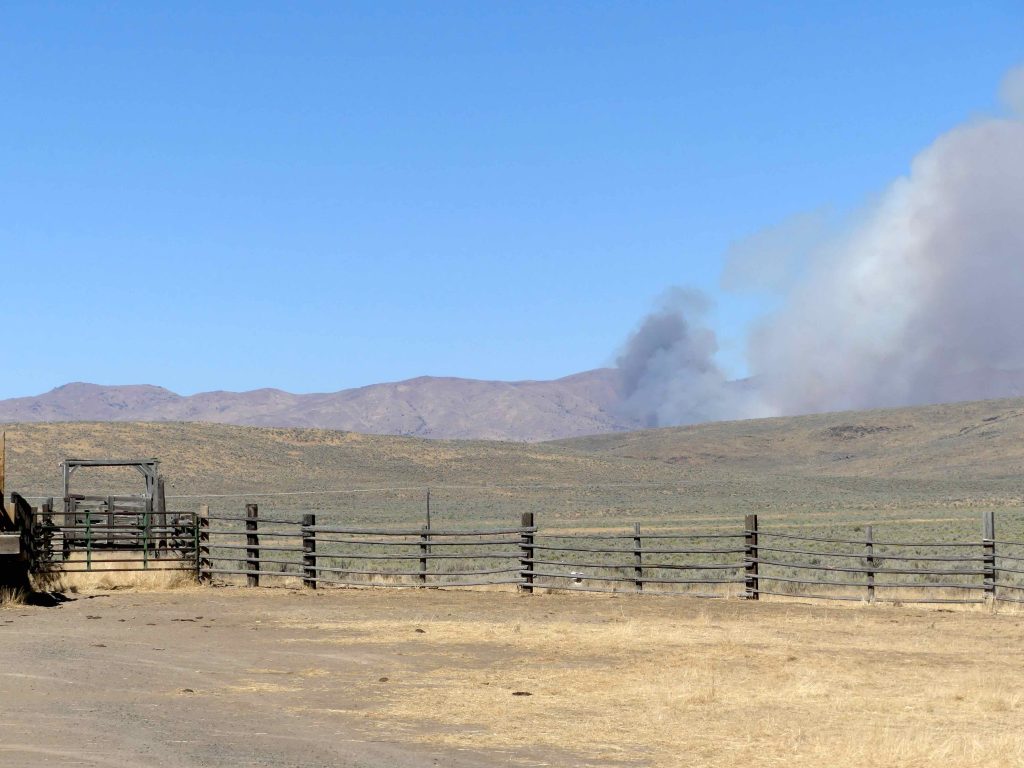
A range fire that started Thursday afternoon was threatening the historic Malheur Cemetery, a ranch compound and a home as crews fought wind and conditions, according to the Vale District Bureau of Land Management.
“Suppression efforts have been hampered by high winds, very dry conditions, difficult access, rough terrain, and other staffed fires in the area,” according to a statement Thursday evening from Al Crouch, BLM fire mitigation specialist.
The fire had covered 2,000 acres, Crouch said. The cause was listed as unknown and there were no road closures or evacuations as of Thursday evening.
Firefighters from the BLM and the Vale, Ironside and Burnt River Rangeland Fire Protection Associations were on the blaze.
“Resources on scene are taking aggressive collaborative action to halt the forward progress of the fire,” Crouch said.
The fire was burning through grass and brush near the area of what was once Malheur City, gone now but for the well-tended cemetery and a newer meeting hall used for annual Memorial Day gatherings.
ORIGINAL STORY:
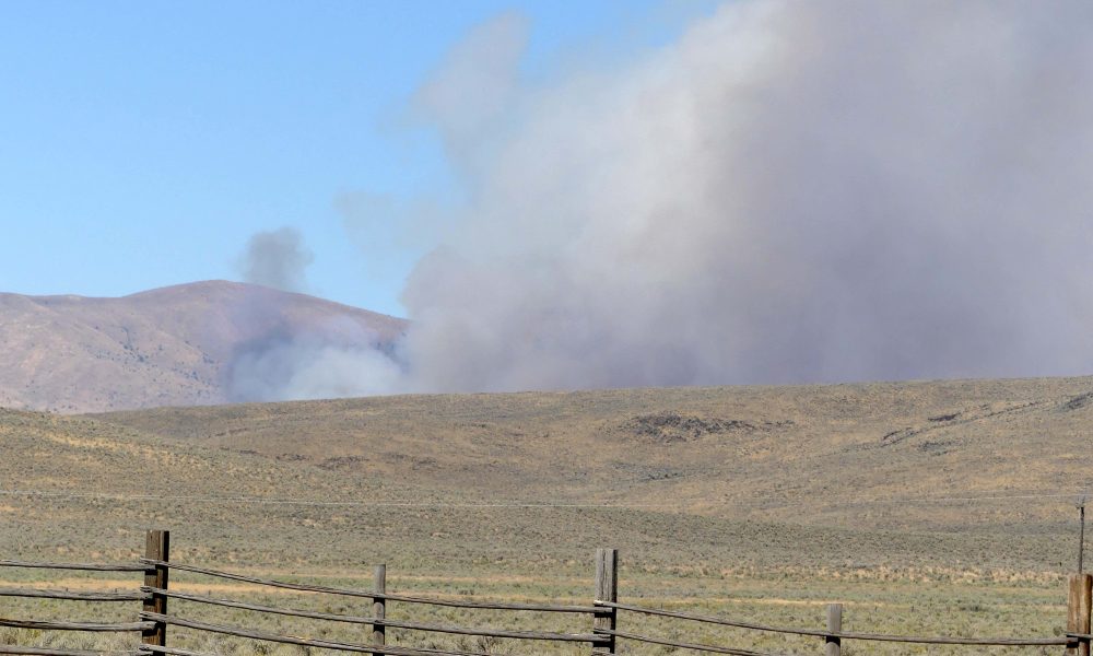
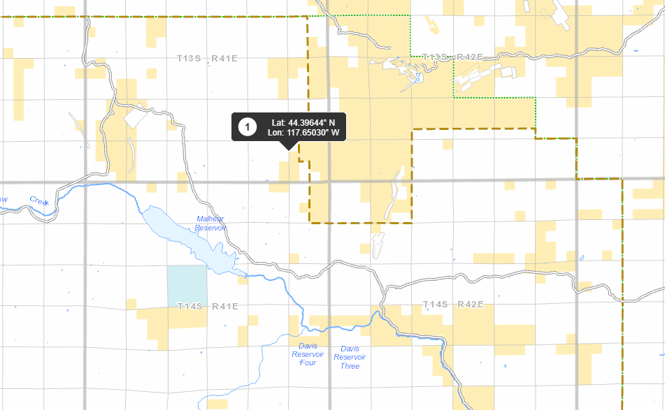
BROGAN – Fire crews responded Thursday afternoon to a fast-moving range fire north of Brogan Hill that covered 1,500 acres and was burning out of control.
The Amelia Road fire is about 12 miles north of Brogan and north of Malheur Reservoir. Crews from the Vale District Bureau of Land Management
Bureau of Land Management and the local Rangeland Fire Protection Association responded to the fire that was reported just before 3 p.m. Thursday, Sept. 8. Air tankers also were working on the fire.
“The fire is spreading quickly and is wind driven,” according to a statement from Marisa Carney, BLM fire information officer.
The Brogan fire is just one of several active blazes in the county.
The 2,300-acre Sheep Head Fire is burning in the Three Fingers Gulch area and about 75% contained.
The BLM said a fire six miles north of Westfall, dubbed the Buck Brush fire, had scorched 250 acres and was 75% contained.
The Sheep Head and Buck Brush fires were ignited by lightning. The cause of the Brogan fire is unknown.
This story will be updated.
News tip? Contact reporter Pat Caldwell at [email protected].
EXCELLENCE IN JOURNALISM – Available for $7.50 a month. Subscribe to the digital service of the Enterprise and get the very best in local journalism. We report with care, attention to accuracy, and an unwavering devotion to fairness. Get the kind of news you’ve been looking for – day in and day out from the Enterprise.