
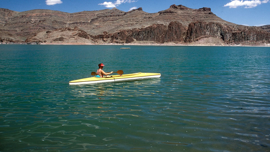


December proved to be a good month for snow pack which, in turn, could help fill reservoirs like the Owyhee before the planting and harvest season rolls around. (The Enterprise/File).
VALE – Good news, bad news.
That is the theme of the most recent water and snowpack report from the federal Natural Resources Conservation Service.
The good news is a spate of December snowstorms delivered ample amounts of the cold stuff on the mountains of eastern Oregon, including the peaks that feed the Malheur and Owyhee basins.
Both of those basins will provide this year’s spring and summer water for Malheur County’s multimillion-dollar agriculture industry.
As of Jan. 1, the snowpack level for both the two basins stood at 116 percent of normal. That is a sharp rise from the 42 percent of normal recorded the same time last year.
“It is good. We started out so poorly with warm temperatures and lack of precipitation but at this point we are very close to normal,” said Scott Oviatt, a snow survey hydrologist for the conservation service. And the bad news? Forecasts call for warmer temperatures and a meager supply of rain through this month and into March.
Already clear skies are chipping away at the snowpack, said Oviatt.
By Jan. 10, the snowpack level in both basins dropped to 102 percent of normal.
“That one day of no snow accumulation dropped us off seven percent. So, in seven to 10 days we could be back in the 80-percentile range,” said Oviatt.
Snowpack is critical for the area. Snowpack powers the spring and summer stream flows – dubbed runoff – which, in turn, help fill local reservoirs. Farmers and ranchers depend on the reservoirs for spring planting and the summer harvest.
“In an optimum year, we have cooler temps later in the spring to delay the runoff. If we have a delayed runoff and more available later in year that is good,” said Oviatt. While the January report was seen by water managers as a first glance at the upcoming water year, much remains unknown, said Oviatt.
“It’s pretty volatile right now. If it stays dry and warm, obviously that is the wrong signal we want to see. The forecasts are not looking optimum for us. They are calling for above normal temps and below normal precipitation,” said Oviatt.
According to the report, forecasts “leave room for uncertainty, and storms that bring significant snow are still very possible. Additionally, the unpredictability of springtime weather could shift conditions in either direction.”
Randy Kinney, manager of the Warm Springs Irrigation District, said he was encouraged by the December storms and the high snowpack.
“But every day we go through the month of January with no storms, those percentages go down,” said Kinney.
Kinney said he was “very optimistic at this point” about the spring and summer water seasons. He cautioned, though, that could change.
“We have a lot of time for this thing to still develop. There again, with each given day it doesn’t storm it pushes those percentages down,” said Kinney.
Kinney said another important factor is the way the snowpack comes off the mountains in the spring.
“The perfect scenario would be a good snowpack and a Chinook wind and rains within a week or two period,” said Kinney.
The worst scenario, he said, is warm spring days followed by very cold temperatures at night. The freezing would hurt the runoff, said Kinney. While Mother Nature helped eastern Oregon in December, she was not as obliging to the western side of the state. Western Oregon began the new year with below normal snowpack in the mountains, ranging from 61 percent the Willamette basin to 67 percent the Rouge and Umpqua basins. In the Harney Basin, as of Jan. 1, snowpack was 100 percent of normal, up from 47 percent of normal on Jan. 1, 2018.
Reporter: Pat Caldwell: [email protected] or 541-473-3377.